Ecdis Enc Correction
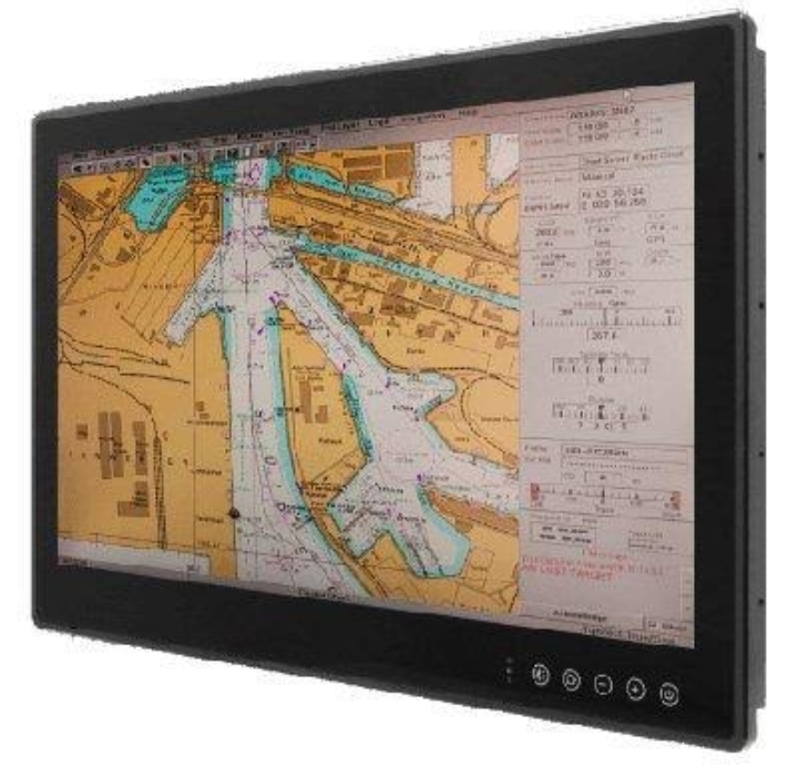
Updating ENC Data: ENCs are updated by weekly ‘Notices to Mariners’ issued by Hydrographic Offices / Regional ENC co-ordination centers ( RENC) and corrections are received on the vessel either by email or data file (AVCS DVD). The actual updating is either applied to the ECDIS chart database automatically or by the user. The ECDIS…