ECDIS (Backbone of Bridge)
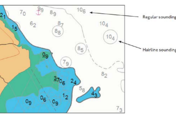
ELECTRONIC CHARTS There are two types of Electronic Charts available:a) Raster Navigational Charts (RNC).b) Electronic Navigational Charts (ENC). RASTER NAVIGATIONAL…
We will keep you updated
ELECTRONIC CHARTS There are two types of Electronic Charts available:a) Raster Navigational Charts (RNC).b) Electronic Navigational Charts (ENC). RASTER NAVIGATIONAL…
After studying this blog, you should be able to: State the different categories of navigation in the voyage cycle. Pick…
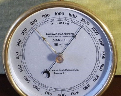
An Aneroid barometer is an instrument used for measuring atmospheric pressure. It uses a small flexible material box called a…
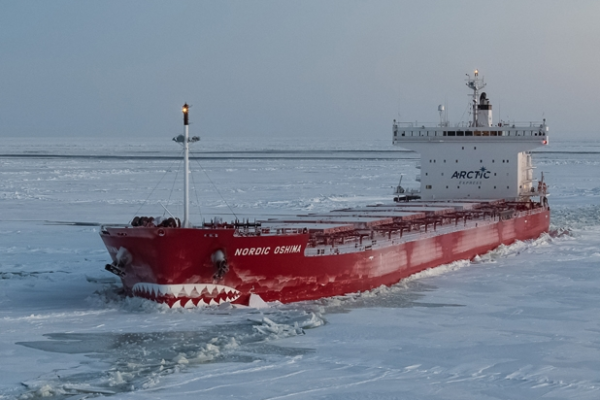
Ice is found at high latitudes in both hemispheres i.e. Northern Hemisphere (Artic) and Southern Hemisphere (Antarctic) regions. They differ…
Aframax (tanker) An AFRA (Average Freight Rate Assessment)max is a medium-sized oil tanker which ranges in size between 80,000…
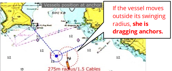
Monitoring the drag with swing circle A ship at anchor will swing around the anchored position in the wind. A…
The ships main gyro compass gives the heading of the vessel with respect to true north. A Gyro compass is…
As per Chapter V of SOLAS 74, as amended, a magnetic compass is a compulsory part of ship borne navigational…
It records the Gyro course steered by the vessel continuously against a time scale. The record is considered as useful…