Browse By

Tag Archives: ecdis

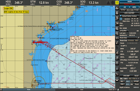
ECDIS (Backbone of Bridge)

ELECTRONIC CHARTS There are two types of Electronic Charts available:a) Raster Navigational Charts (RNC).b) Electronic Navigational Charts (ENC). RASTER NAVIGATIONAL CHARTS (RNC) A RNC is a raster chart that conforms to International Hydrographic Organization (IHO) specifications and is produced by digitally scanning a paper chart

ecdis route check

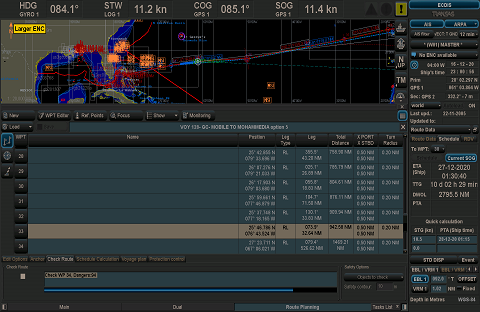
ECDIS Route Check

The created route must be checked for potential dangers in case any have been overlooked during route creation. The system will conduct a check for charted dangers, unsafe depths and potential hazards only within the confines of the specified XTL. The check should consider all

ecdis alarms

MANDATORY ECDIS ALARMS AND ALARM SETTING

Below is the list of mandatory alarms / indication as per MSC Resolution 232(82). Alarm: An alarm or alarm system which announces by audible means, or audible and visual means, a condition requiring attention. Indicator: Visual indication giving information about the condition of a system

ENC chart correction

ENC CHART CORRECTION

ENCs are updated by weekly ‘Notices to Mariners’ issued by Hydrographic Offices / Regional ENC co-ordination centers ( RENC) and corrections are received on the vessel either by email or data file (AVCS DVD). The actual updating is either applied to the ECDIS chart database

ECDIS detection area

ECDIS – Detection Area

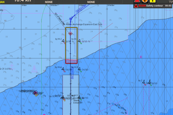
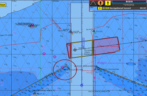
A valuable function of ECDIS is to continuously display position fixes and at the same time, monitor a detection area ahead of the ship for hazards to navigation. This detection area may have a different name depending on the manufacturer, but common terms include‘safety frame’

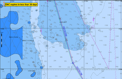
ECDIS – Compilation Scale and Scale Minimum

During passage planning the 2nd officer plans a passage apparently clear of visible dangers to navigation. ( IGNORE SHALLOW CONTOUR SETTINGS ) Consequence : The deep draft aframax tanker drawing aft draft of 15.0 m goes aground in safer waters well clear of the visible

ECDIS – Contour Settings

Traditional method of passage planning on paper chart: Using a draft of 14 mtr and applying a 2 mtr safety margin, the second mate would mark off areas with depth 16 mtrs and less, on the navigational chart. These areas would then be highlighted, using

ECDIS (Safe or Risk to Navigation)

Numerous groundings and near misses have occurred on ECDIS equipped ships that could have been avoided but for failures in the setup and use of ECDIS. Like most of the world’s merchant fleet trading internationally, your ship(s) is most likely equipped with an Electronic Chart

furuno ecdis

Furuno 3000 Series ECDIS

All electronic chart licensing and data management operations are carried out through the “Charts” Option on the Top Toolbar and then from the various Tabs on the left hand side of the Home screen on the FURUNO ECDIS: To check the ECDIS Software Version: Select

catzoc

CATZOC (Category of Zone of Confidence)

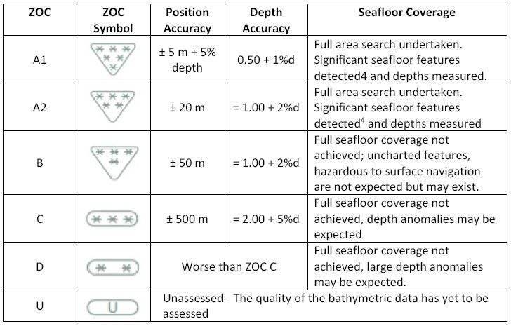
CATZOC on the ENC in simple terms refers to the Quality and Accuracy of survey data and the applicable error in chart datum that sometimes can greatly affect vessel’s UKC calculations.   Zone of Confidence (ZOC) has 6 Categories named A1, A2, B, C, D