USE OF ECDIS IN RCDS MODE
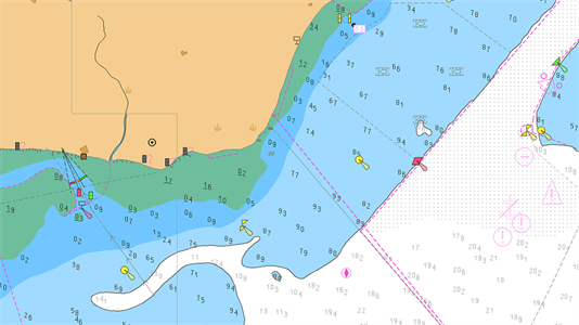
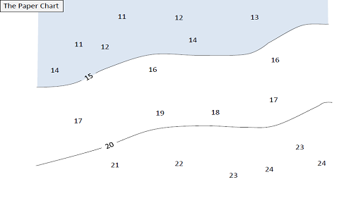
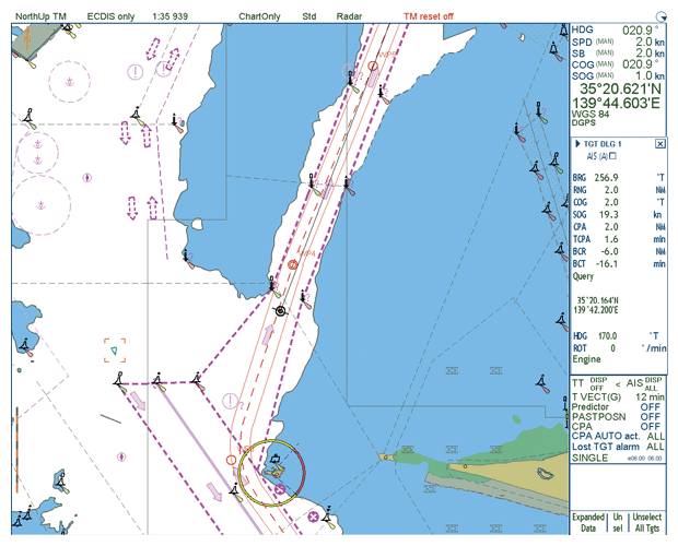
All navigable waters are not yet covered by ENC data and vessel may be required to use ECDIS in Raster…
We will keep you updated
All navigable waters are not yet covered by ENC data and vessel may be required to use ECDIS in Raster…
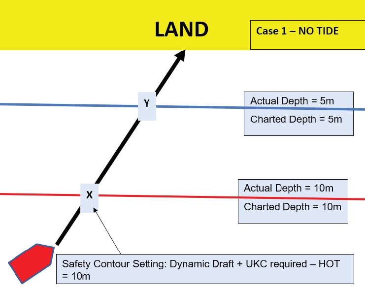
Use of the Safety Depth and the Safety Contour in ECDIS Safety Depth: Value set by the mariner that is used…
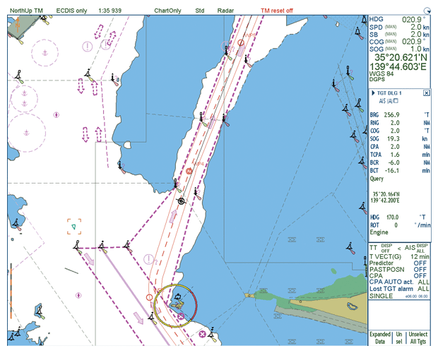
General ECDIS allows for monitoring of a ship’s position in real-time throughout the voyage and integrates information from GPS, Gyro,…
Safety Contour = Dynamic draft + Minimum Net UKC requirement – Height of tide Shallow Contour = One Contour less…
Ecdis Failure It is mandatory for the ship’s officer to manually plot position of the vessel frequently to avoid over-reliance…