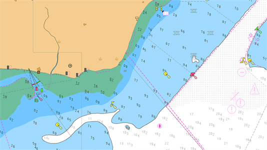
USE OF ECDIS IN RCDS MODE
All navigable waters are not yet covered by ENC data and vessel may be required to use ECDIS in Raster Chart Display System (RCDS) mode using ARCS / approved raster charts. If suitable ENC charts are not available from any source, then the use of
