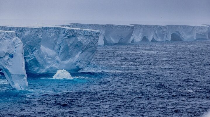
North Atlantic:
July: Northern Summer
- The worst season for ice berg off the Newfoundland is between March and July
- A general ice berg limit can be drawn from 65˚ N – 30˚W curving inward to 55˚ N and 45 ˚W and flowing
down to 40˚N and 40 ˚W. - No pack ice is seen off new found land or to Baffin bay entrance
- The ice bergs are not found south of 40˚ N and E of 40˚ W.
- The limits of icebergs around Newfoundland can be said to be North of 40˚ N and West of 40˚ W.
(Generally)
January: Northern Winter
- The winter normally results in increased concentration of pack ice and reduced ICE bergs.
- The limits for Ice bergs off Newfoundland and can be said to be 45˚N and 45 ˚W (Generally)
- Further north they are close along the coast of the green land
- Pack ice can be found north of the Newfoundland up to the entrance to the Baffin Bay.
South Atlantic / S. Indian Ocean / South Pacific Ocean
January (summer):
- The icebergs can be traced as follows:
- Along the coast of South America up to 32˚ S / 050˚ W
- Then they curve down along to 36˚ S / 040˚ W
- The curve moves up to 25˚ S / 025 ˚ W
- Then it falls down to 40 ˚S / 010 ˚W
- Then it flows straight (almost ) along to the cape of good hope (South Africa),
- Then it continues to flow to the south of Australia ( 38 ˚S / 120˚ E )
- Then to south of Tasmania and then to south of New Zealand
- Then it rises along the coast of New Zealand and then flows as an alternating wave towards the Cabo de
Hornos and to resume again at the Magellan strait.
Pack Ice:
- The pack Ice limit is well south of 60˚ S.
July (winter):
- Not much change in the position of the iceberg as in summer.
The pack ice around 55˚S around the South African coast and other wise it runs all along the Lat of 60˚S.
The icebergs can be traced as follows:
- Along the coast of South America up to 32˚ S / 050˚ W
- Then they curve down along to 36˚ S / 040˚ W
- The curve moves up to 25˚ S / 025 ˚ W
- Then it falls down to 40 ˚S / 010 ˚W
- Then it flows straight (almost ) along to the cape of good hope (South Africa),
- Then it continues to flow to the south of Australia ( 38 ˚S / 120˚ E )
- Then to south of Tasmania and then to south of New Zealand
- Then it rises along the coast of New Zealand and then flows as an alternating wave towards the Cabo de
Hornos and to resume again at the Magellan strait.
